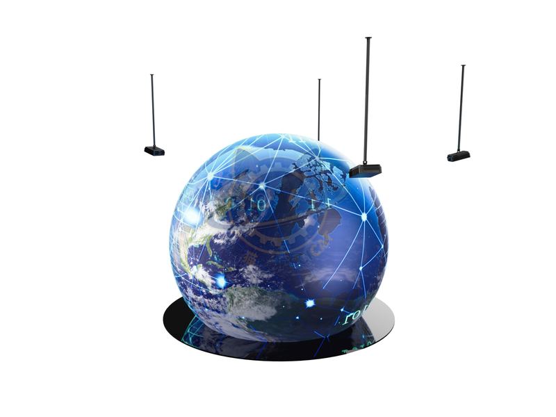
Digital Earth is a digital reproduction and understanding of the unity of the real Earth and its related phenomena.
| Category | Earth & Ecology |
|---|---|
| Standard size | Custom size |
| Supply | Single unit or batch · OEM to your drawing |
| Lead time | Standard 4–8 weeks after deposit (confirmed per contract) |
| Warranty | 1 year, structure and control |
| Documents | Specification sheet · control diagram · spare-part list |
A standard catalogue model: the dimensions, control package and finish are fixed, which is what keeps the price and the lead time predictable. Size, colour and interface language can be adapted without a new design cycle.
Standard models from this range are also listed in our online store, priced in USD — see the price yourself ↗
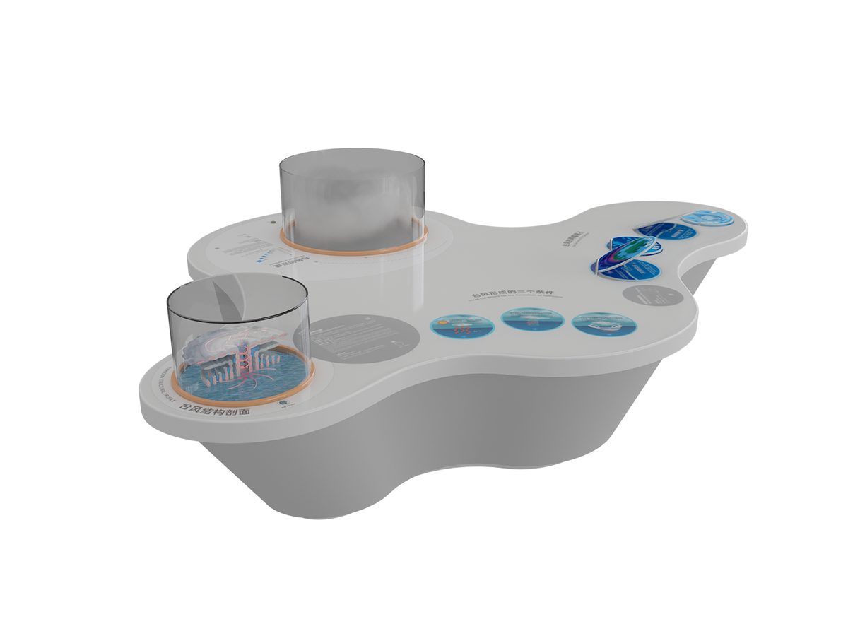
Digital Earth is a digital reproduction and understanding of the unity of the real Earth and its related phenomena. Its core idea has two points: first, to use digital means to unify the handling of Earth issues; The second is to maximize the utilization of information resources. The development and application of remote sensing technology, geographic information systems (GIS), global positioning systems (GPS), and cloud computing provide powerful technical support for the construction of a digital earth. Through these technologies, we can obtain various information about the Earth's surface in real time, display real-time dynamic images of the Earth, and achieve comprehensive, multi-level, and multi-disciplinary observation and research of the Earth.
The unit is designed for unsupervised public use: controls are recessed or shielded, moving parts are enclosed, and the interface is operable by a child of about six with no instruction. Where a screen is used, the language can be switched without changing the hardware, and the content can be replaced on site.
The climate system of the Earth is very complex. One of the factors that have a significant regulatory effect on global temperature and water vapor is the warm and cold currents in the ocean. These global warm and cold currents drive the flow of seawater worldwide. The temperature and water vapor of the Earth will also change worldwide with the flow of ocean currents. In December 1999, more than 500 scientists, engineers, educators, managers, and entrepreneurs from 20 countries gathered in Beijing and issued the famous "Digital Earth Beijing Declaration" on the occasion of the first International Digital Earth Conference. The declaration points out that the 21st century is an era of global knowledge economy supported by information and space technology, emphasizing the importance of integrating global Earth observation systems, global spatial data infrastructure, global navigation and positioning systems, Earth space information infrastructure, and dynamic process monitoring; Recognizing that the digital earth can help respond to various challenges faced by humanity; Advocate for government and science.
Every unit leaves the factory after a running test: mechanisms cycled, electronics burned in, edges dressed, fixings torqued and marked. Wear parts — bearings, sliders, lamps, belts, touch panels — are modular and listed on the spare-part sheet, so a venue technician can replace them without returning the exhibit. Crating is plywood with foam blocking; the loading plan and packing list travel with the shipment.
Other models from the Earth & Ecology line, all held to the same specification and the same control package.

A vertical slice through a storm showing eye, eyewall and spiral bands.

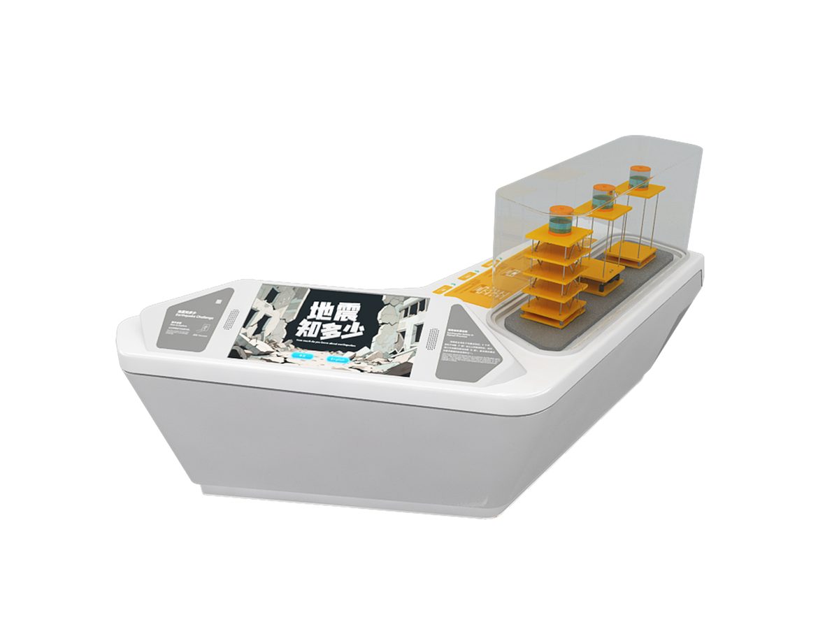
A platform shakes at recorded intensities while a seismograph traces the movement.

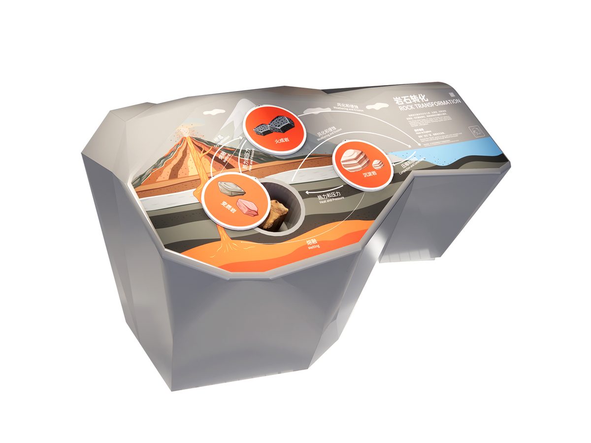
Heat and pressure turn one rock type into another on a turntable.

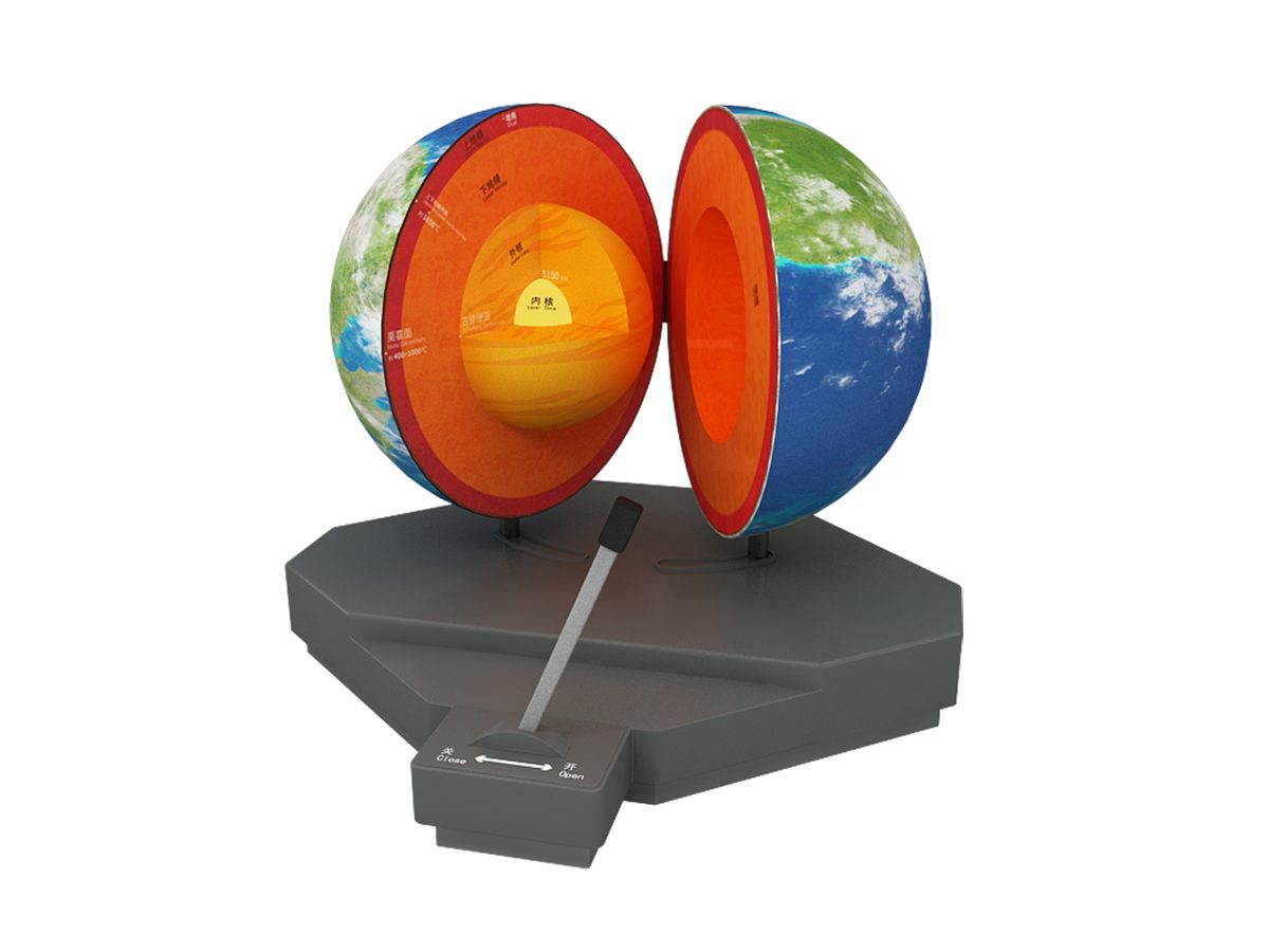
Cut-away globe showing crust, mantle, outer and inner core.
Attach a theme outline, a floor plan, or nothing at all — a photo of the space is enough to start. Quotations are issued against a real exhibit list, not per-square-metre guesses.
Scan to add us